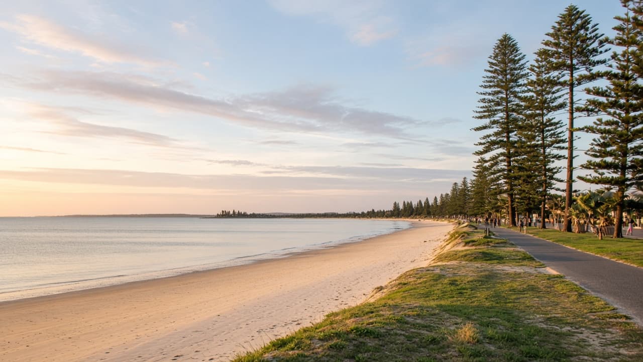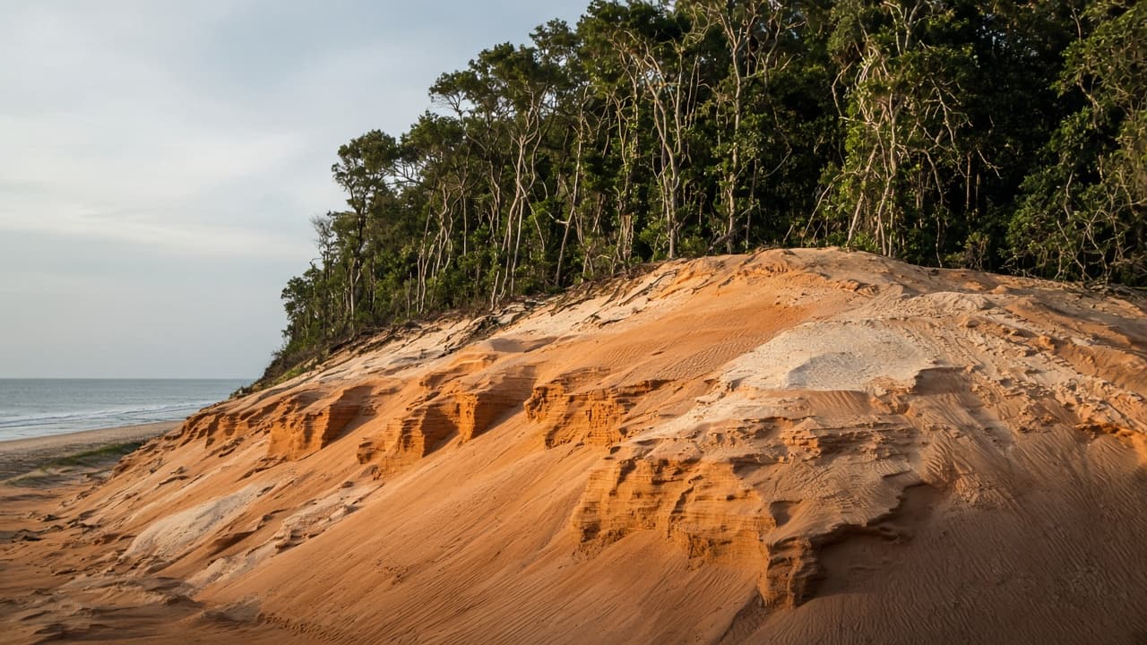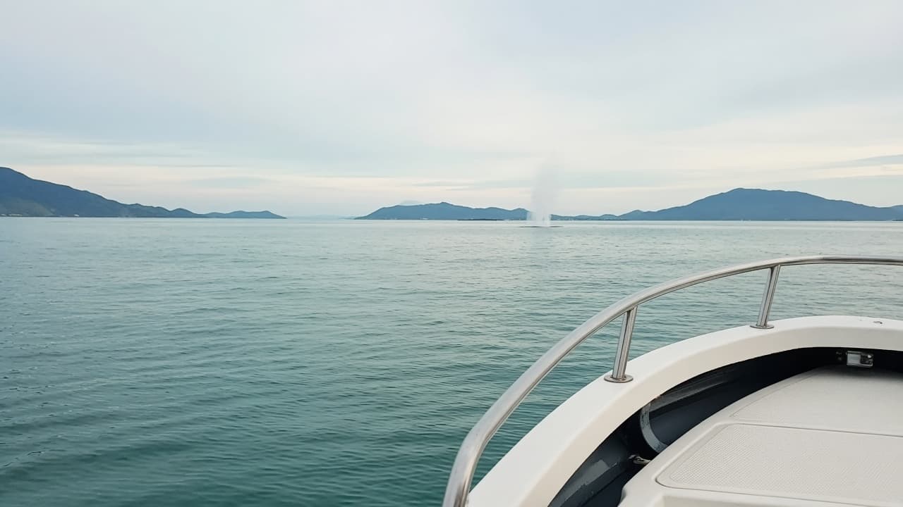
K’gari is the Butchulla name now used in park and government language for the sand island that English maps called Fraser Island. It is the world’s largest sand island, a UNESCO World Heritage property since 1992, and the landform that makes Hervey Bay calm. Rainforest grows in sand. Lakes sit perched above the water table. The eastern beach is both a landscape and, at low enough tide, a road. None of that is a theme park with a queue-time app.
Queensland Parks and Wildlife Service manages visitor access with the Butchulla Aboriginal Corporation in a joint-management arrangement described on the official K’gari park pages. If a sentence on this site and a sentence on that site disagree next season, the park site wins.
How do you visit from Hervey Bay?
Parks lists the options: vehicle barges, commercial tours, passenger flights, and private boats. From the Hervey Bay / Maryborough side, barges leave River Heads for Kingfisher Bay and Wanggoolba Creek. Those sailings take in the order of half an hour to fifty minutes and require bookings. From the Cooloola / Rainbow Beach side, barges run Inskip Point to Hook Point in something like ten minutes, generally through daylight hours, without bookings. Walk-on passengers are part of the picture on vehicle barges.
Hervey Bay is therefore a natural mainland base, not the only door. People staying on the Sunshine Coast often use Inskip. People staying in the bay use River Heads. Tours depart from several towns; they are licensed businesses with their own inclusions. This guide does not sell a seat.
Do you need a 4WD?
Yes if you intend to self-drive island tracks or the eastern beach. Parks is explicit that the sand tracks are rough and suitable for high-clearance four-wheel-drives. All-wheel-drive crossovers and 2WD cars are the wrong tool. Hire contracts often restrict beaches and the island entirely — read the agreement before you point a city SUV at Hook Point.
You do not need to personally drive sand if you join a commercial tour or stay at a west-coast resort that runs transfers. Those products have their own limits (how far north they go in a day, whether Indian Head or the Champagne Pools appear). Ask the operator. Do not reconstruct a 2016 itinerary from memory and call it a booking.
Permits and park rules
A vehicle access permit must be purchased before you drive on K’gari. Queensland Parks publishes current fees and the booking path. You must be able to produce a digital or printed copy if an authorised officer asks. Number plates on the permit need to match the vehicle. Combined permits with Cooloola exist in some products — that is a Parks decision, not ours.
Camping in Queensland Parks camping areas needs a camping permit, displayed as Parks instructs. Commercial campgrounds run their own books. School holidays fill both.
Wongari (dingoes) are wild. Seasonal notices about mating, whelping and heightened activity appear on the park site. The rules you will actually use are dull and non-negotiable: do not feed, lock food, stay with children, and treat a curious animal as a reason to give space, not a photograph. Parks publishes the current wording. We will not paraphrase it into a cute list that drifts out of date.
Track closures, planned burns, beach erosion at barge landings, and unexploded-ordnance notices have all appeared in recent park alerts. Check the week you travel, not the week you daydreamed the trip.
Day trip versus overnight
A day trip can show you a southern lake, a stretch of rainforest, or a piece of the eastern beach if you start early and respect the return barge. It cannot honestly include every named highlight on a tea-towel map. Indian Head, the Pinnacles, and the Champagne Pools sit on a longer, tide-dependent clock.
Overnight is the upgrade that buys dawn and removes the same-day panic. Two nights is when 75 Mile Beach stops feeling like a commute. The K’gari day-trip itinerary exists so you choose the clock before you pay a deposit. The five-day Fraser Coast shape parks the island on days that are not also a dawn whale cruise.
What the island is, geographically
K’gari is about three hundred kilometres north of Brisbane and roughly fifteen kilometres off the Hervey Bay and Maryborough coast, as Parks describes it. The west faces the Great Sandy Strait and the bay — calmer water, resort and barge landings. The east faces the open Pacific — the long beach, the coloured sands, the places postcards crop. The interior holds perched lakes whose colour and access change with rain and management decisions. Lake names in old blogs are not a promise the track is open.
This is not a Commonwealth national park in the Parks Australia Kakadu/Uluru sense. Linking Parks Australia here is for travellers stitching a wider Australian park trip. K’gari’s day-to-day rules are Queensland’s.
Safety that is not optional colour
Sand driving is a skill. Lower tyre pressures as your briefing or hire company instructs; know the tide on the eastern beach; do not treat a flooded creek as a dare. The beach is closed to vehicles in places and at times Parks specifies. Walkers and families share the same sand.
Swimming on the eastern beach is unpatrolled ocean with rips. Western and interior lakes have their own rules and sometimes close. Estuarine crocodiles are not the Daintree story here, but the island is still wild water. Follow signed advice.
How this page relates to the old site
The historic frasercoastattractions.com.au map talked about Fraser Island as a category among towns and museums. This rebuild gives the island the money-page it always needed, keeps the new slug /kgari-fraser-island/, and refuses the 2024–26 /business/ spam that tried to sit in the same domain. If you arrived from an old town URL, the towns hub still holds Maryborough, Howard, Tuan, Bauple and Brooweena.
Book the barge. Buy the permit. Read the alert. Then go — slowly.
What a first loop actually looks like
A conservative first self-drive or tour loop on the southern half of the island is how most people fall in love without collecting a recovery bill. Rainforest growing in sand is the surprise. A perched lake is the photograph. A stretch of eastern beach is the scale. That is already a full day. Adding every named coloured-sand stop and a northern headland is how groups start arguing at a creek.
West-coast landings feel closer to Hervey Bay’s calm. East-coast driving feels like a different country with a speed limit written in tides. Interior tracks punch through country that looks impossible until you remember the whole island is sand.
Resorts, tours, and the walk-on visitor
You can sleep on the western side without driving sand if a commercial property runs transfers and you have read what the rate includes. You can walk onto a barge and join a tour from a landing. You can fly in for a scenic hour that never becomes a 4WD day. Those are different products. Historic package names on this domain are not live contracts. Confirm the current operator.
Country, names, and why the park page wins
K’gari is the Butchulla name now used in government and park language. Joint management is not a footnote for a closing slide. It is why some places close, why wongari rules exist, and why a visitor who treats the island as an empty sandbox is arriving in the wrong century. Read the Queensland Parks visitor-safety pages the week you travel. If a sentence here is older than an alert, the alert wins.
Parks Australia remains useful when your wider Australian trip includes Commonwealth parks. This island’s permits and barges are Queensland’s.
Packing that is not a sponsored list
Water, sun protection that still works under reflected beach light, food you can store in a way Parks requires, and shoes you can walk a lake track in. Recovery gear if you are the driver. A tide source you trust. A plan for when the eastern beach is closed. Humility.
The five-day Fraser Coast itinerary keeps this island on days that are not also a dawn whale cruise. The day-trip page tells you when daylight is enough. This page is the rulebook in visitor English.