The old frasercoastattractions.com.au site thought in regions: Hervey Bay area, north hinterland, south hinterland, west hinterland. That mental map is still how a week works. /all-regions/ and /all-regions.html stay as the index. What they no longer are is a scraped phone book.
Hervey Bay area
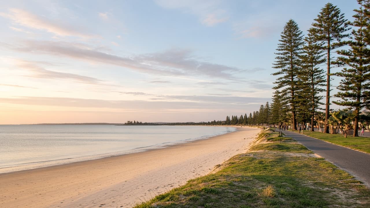
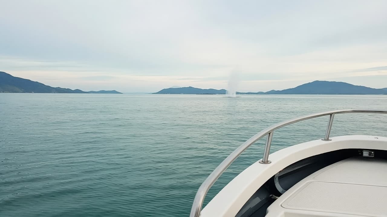
Hervey Bay is the visitor engine: esplanade suburbs, Urangan Harbour, whale boats, and the easiest bed for a first trip. River Heads is the barge suburb. Toogoom and other western bay pockets are quieter local sand. The beaches hub covers the swimming choices. Whale watching is a season, not a suburb, but it lives here.
The island
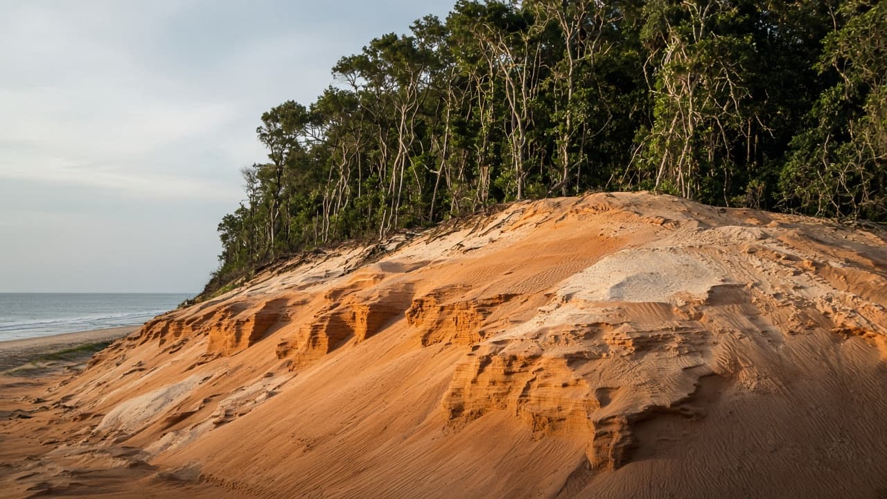
K’gari is its own region in practice: west-coast landings, eastern beach, interior lakes, joint management, and a clock that does not match the mainland. You do not “pop over” without a barge or a tour. Parks owns the rules.
Maryborough and the southern hinterland
Maryborough is the river-port city. Bauple is the museum-and-mountain pause. Tiaro and other highway towns exist as real places we will not inflate into day-trip essays. Tuan is forest and estuary on the southern edge.
Burrum and the northern hinterland
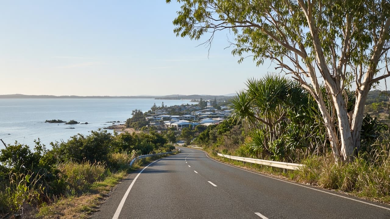
Burrum Heads is the quiet mouth. Howard is the inland grain on the way. Torbanlea and similar names appear on old maps as hinterland texture; visit them as yourself, not as a checklist we invented.
West: timber country
Brooweena is the reason to point a car west of Maryborough. Mungar and Oakhurst sit in the same mental region as rail and river flats. Go for the drive if you like empty Queensland. Go for the village only when it is open.
How to use the index
Weekend: Hervey Bay region only. Island day: add K’gari, subtract hinterland. Five days: one hinterland region plus the bay plus the island. The itineraries turn those sentences into tables. The towns hub names the pages. The attractions hub names the first-timer stack.
/all-regions.html 301s here. /business/ 410s into history.
The Fraser Coast is small enough to hold in your head and large enough to ruin with a greedy Saturday. This page is the head map. The child pages are the walking.
How the old site used “regions”
Hervey Bay area included the esplanade suburbs, River Heads, Burrum Heads in some lists, and the island as a neighbour rather than a chapter. North hinterland held Howard, Torbanlea, waterholes that appear on older maps. South hinterland held Bauple, Tiaro, forest. West held Brooweena and the timber road. We kept the mental model and threw away the scraped phone book.
Choosing a region for the day you have
Bay region: swimming, pier, whales. Island region: permits and sand. Maryborough region: verandahs and rooms. Burrum region: quieter mouth. West: confirmed Sunday and empty bitumen. The towns hub names the URLs. The itineraries hub times them. This page is the index card.
What we will not resurrect
Business-directory listings, author pagination, and beauty/pet SEO posts. Those 410. If a genuine visitor attraction is missing from the tourism IA, write to the contact address with a primary source. We still will not invent a rank.
Drive one region properly. That is better than tagging four in a car.
A one-week regional diet
Two days bay, one or two island, one Maryborough, one quiet mouth or west museum. That is the all-regions idea without a spreadsheet. The itineraries tree writes it as clocks. This URL writes it as geography. /all-regions.html 301s here. The spam directory does not.
Old names, current doors
Hervey Bay area → /hervey-bay/, /beaches/, /whale-watching/. Island → /kgari-fraser-island/. Hinterland south → /towns/maryborough/, /bauple/, /towns/tuan/. Hinterland north → /burrum-heads/, /towns/howard/. West → /brooweena-historical-village-and-museum/. Adventure and fishing remain heritage categories. That is the entire translation layer.
Field notes on empty map squares
Not every locality on an old drop-down deserves a 800-word essay. We 301 thin historic slugs to a parent rather than fabricate a high street. That is editorial honesty, not a missing town. The towns hub lists the essays that earned a drive.
Planning notes for people who think in maps
Draw a triangle: Hervey Bay, Maryborough, Burrum Heads. The island sits off the east of that triangle and needs a barge. Brooweena sits west of Maryborough and needs a Sunday. Tuan sits south and needs a taste for trees. That sketch is the all-regions idea. The child URLs do the walking. /all-regions.html 301s here. The spam directory does not.